

Open this route in the app to prepare your next outing.
Details
Ski climbing
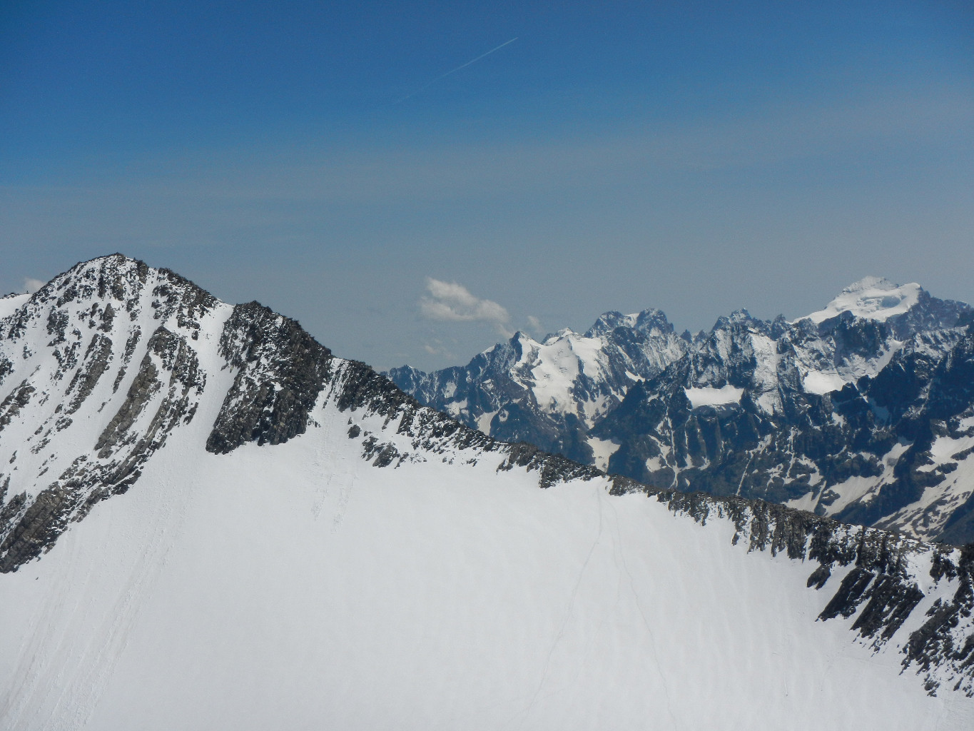
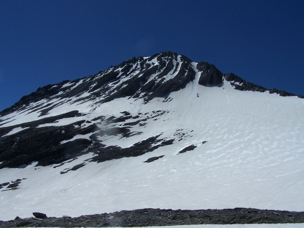
From les Hières, or in the spring from Valfroide, or a little further, between the hamlets of Pramailler and Clot, at the end of the track at 1878 m, go up NE in the pastures. We arrive at about 2200 m at the foot of the S exposed steep of Grepon, often in hard snow that we overcome. Above, there is refuge Goleon at little less than 2500 m that can cut the race. Then descend a few meters on Lake Goléon. Go along the right bank and continues in the bottom of the valley of Maurian first very flat in NNW direction. We pass then next to the old shelter Carraud. Bend then NW towards the Lombard glacier, which is attacked on the left bank (the most N branch, the weakest slope), leaving on the right the valley leading to the Lombard Pass. With a large rotating movement, bend W then SW and S the trace to go up again, always by gentle slopes towards the ridge coming from the summit. It is most often about half way up the 3236 m altitude pass located just to the left of Bec Grenier and the summit itself, around 3300 meters. The skis will usually be left there. It only remains to walk up the mixed rocky ridge, quite easy (a little more than 100 m vertical drop, II). There are several variants, of increasing difficulty, to reach the ridge from the glacier closer to the summit, by short but steep corridors.
Summer climb
From Valfroide car park, at the end of the trail, take the path that goes up the lock of Grepon to the lake and refuge of Goléon. Go along the edge of the lake and continue in the Arctic landscape (Sandur,">https://en.wikipedia.org/wiki/Outwash_plain">Sandur, unique biotope in the French Alps, protected Natura 2000) of the Maurian valley. We pass next to the old Carraud refuge, then we pass a rough scree (cairns), before going up along a waterfall to the NW and the foot of the glacier Lombard. When you leave the Lombard Pass on your left (between the Aiguille Méridionale d’Arves and the Aiguille Orientale de la Saussaz), you have to cross a torrent at best. At the beginning of the season, it is covered with a nevé. When you reach the foot of the glacier, and the ridge NW appears, two options. - Locate the pass to the left of the Bec Grenier, and join it by gentle glaciar slopes, and go up the entire NW ridge, first easy and fairly horizontal before it rises (II). - Locate a snow corridor that joins the NW ridge in its final, join it directly by more pronounced glaciar slopes.
Descent
By the same route, or crossing the S ridge in summer.

Download the Whympr App to view this route in 3D.
- Route search (100 000)
- Community returns
- Weather forecast
- Avalanche bulletin
- Race book
- Creation of tracks
- Topographic map (including IGN)