

Open this route in the app to prepare your next outing.

Min / max altitude1960m / 3592m
Duration6 hours 32 minutes
Main facingSW
Route typeReturn the same way
Glacier gear required
Details
Approach
1st day go up to the Robert Blanc hut (2750m). Parking Chalet des Lanchettes (1975m.)
Route
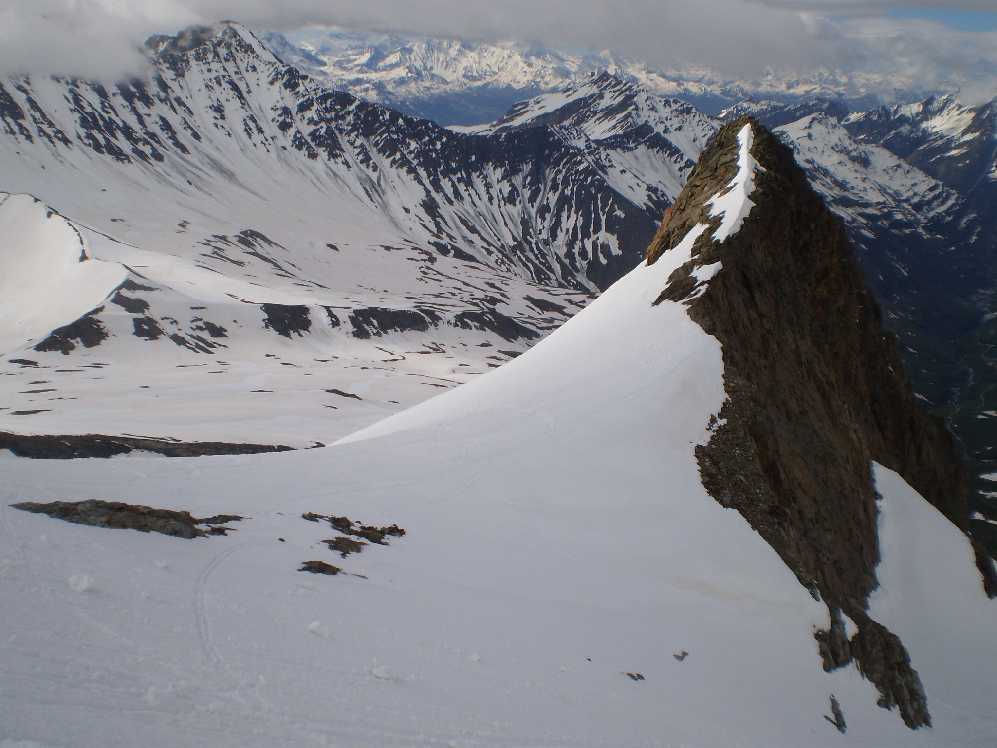
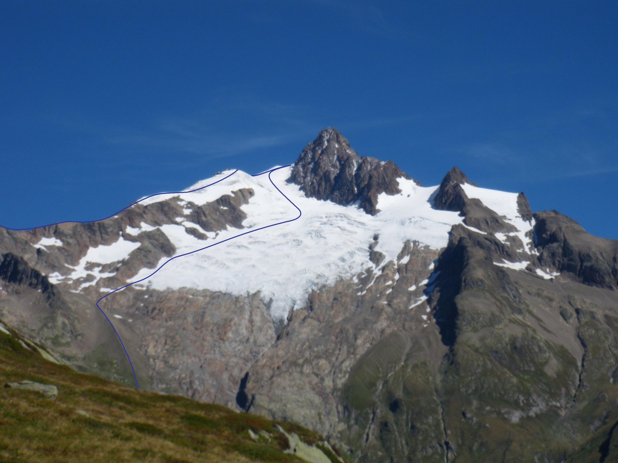
From the hut either descend 80m and traverse towards and across a little rock ridge, or descend 200m to pass underneath this ridge From there go straight up the face, keeping mainly to the true right bank, either until a dome of snow or until the shoulder of the Aiguille du Glaciers, (a better view.)
From here, and depending on the snow conditions, it is possible to reach the summit by a west facing gully.
Descent
Two possibilities:
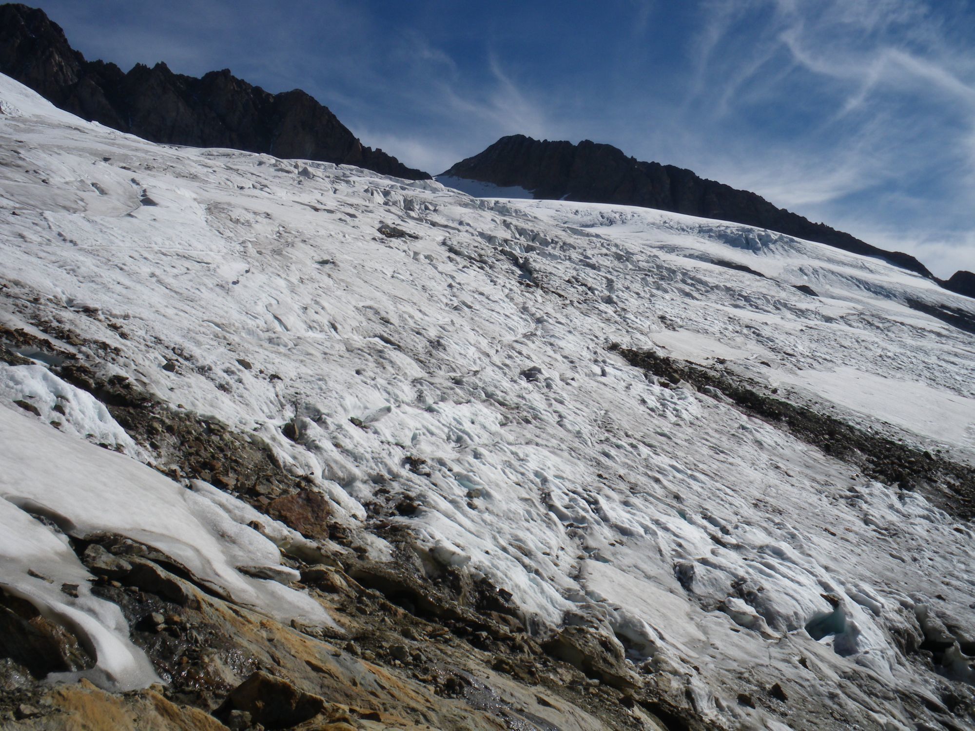
- By the true right bank of the glacier Find the best line through the crevasses, then go down between the moraine and the ridge coming from the Pointe des Lanchettes. Traverse to the right underneath this ridge to pass directly above the hut and bypass some rock bands. By going to the left, gain the Lanchettes stream, which you then follow.
- By the true left bank of the glacier and the Cabottes ridge Once on the face go to the left along by the Cabottes ridge, then at 3050m traverse to the left to gain the slopes which come from the Col de la Seigne and continue down the little valley “des Cabottes”. One can also cross the Cabottes ridge higher up at about 3150m (more exposed and steeper.) Depending on the snow conditions, it may be possible to descend to the right of the Cabottes ridge and so avoid the traverse at 3050m.
It is recommended to work out the preferred descent before leaving the hut.

Download the Whympr App to view this route in 3D.
- Route search (100 000)
- Community returns
- Weather forecast
- Avalanche bulletin
- Race book
- Creation of tracks
- Topographic map (including IGN)