

Open this route in the app to prepare your next outing.

Details
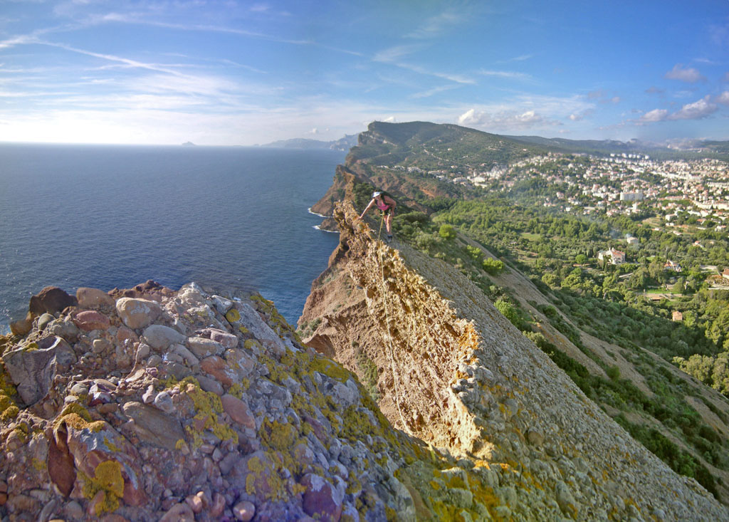
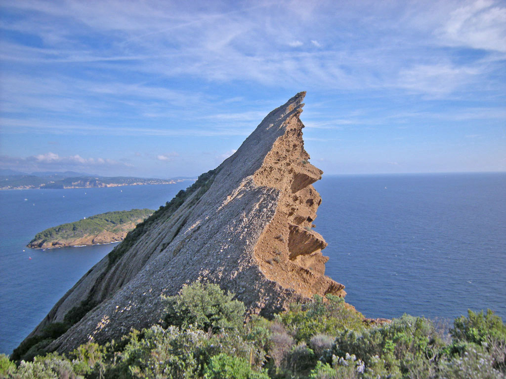
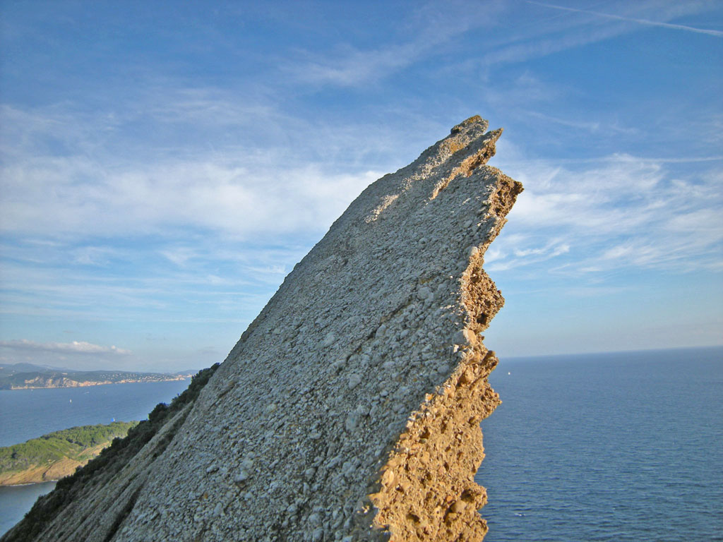
The Bec d’Aigle is the most spectacular peak on the seacoasts of France. The climbing on puddingstone is interesting, and the finish on overhanging crest is some of the most exciting climbing at difficulty grade 2 anywhere – with dramatic views down over the edge as often as desired – and unbeatable photo opportunities for climbing moves near its edge. The difficulty of climbing is sustained, which might be mentally difficult for persons unaccustomed to that.
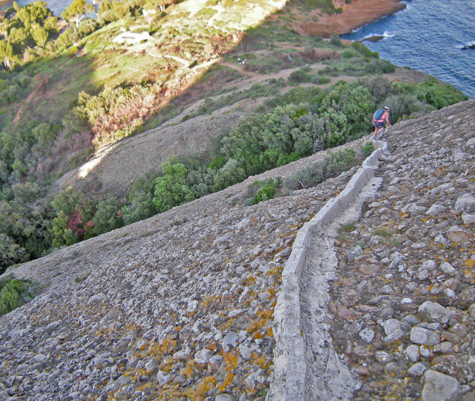
Route: From the parking for Parc du Mugel walk roughly South about 250m to the entrance to Parc du Mugel (latitude/longitude approx N43.1654 E5.6061), and continue South on a lane for another 200m. Just before the end of the lane (lat/long N43.1641 E5.6071), turn right on another lane. Go roughly West around N side of a building, then SouthWest, becomes dirt and goes up hill, after about 220m reach a concrete circular basin (“impluvium”) for collecting rainwater (lat/long N43.1628 E5.6048). This basin is at the base of a dome of puddingstone rock, at the intersection of two curving drainage ditches each lined with concrete.
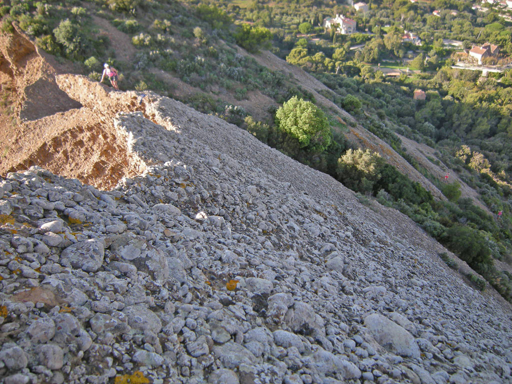
Climb West up along the Right-hand drainage ditch about 60m to its top. Then climb up SouthWest then South for about 100m to a col (lat/long N43.1618 E5.6041) - (with two bolts for rappel down SW side). Finish going SouthEast along the overhanging ridge about 100m to the summit of the Bec d’Aigle (lat/long N43.1612 E5.6054). Many of the climbing moves are easier if stay high next to the crest, and this offers dramatic views over the edge, and opportunites for more dramatic photos – but there is perhaps some added risk that a section of the overhanging ridge might collapse.
Descent: Return the same way.

The text and images in this page are available
under a Creative Commons CC-by-sa licence.

Download the Whympr App to view this route in 3D.
- Route search (100 000)
- Community returns
- Weather forecast
- Avalanche bulletin
- Race book
- Creation of tracks
- Topographic map (including IGN)