

Open this outing in the app to prepare your next outing.

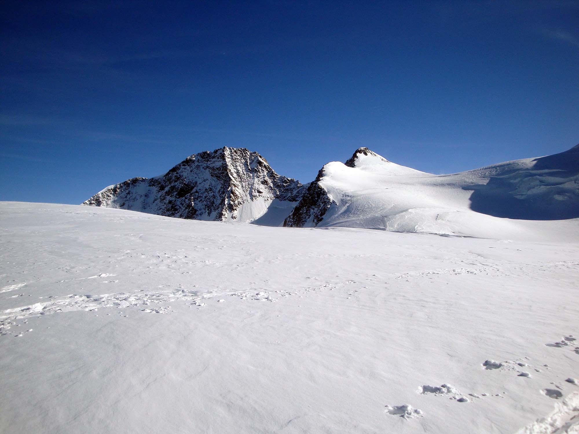
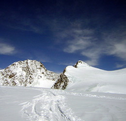
Zumsteinspitze
Switzerland • 4563 m
Source
Géographie
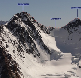
- Col associé à la proéminence : Grenzsattel (4453 m)
- Plus proche parent et parent principal : Pointe Dufour (4634 m)
- Rayon de dominance : ~500 m
- Point de limite de dominance : arête SE de la Pointe Dufour (4634 m)
Historique
- 1re ascension : 1er août 1820 - Joseph Vincent, Johann Niklaus, Joseph Zumstein, Molinatti et Castel et d’autres.
- Arête N :
- 1er parcours (à la descente) : 28 juiller 1882 : Karl Blodig, Christian Ranggetiner.
- 1re ascension connue : 22 juillet 1886 - Christian (fils) et Rudolf Almer, William Martin Conway, W. A. B. Coolidge.
Webographie
Bergportrait">https://www.bergwelten.com/a/bergportrait-zumsteinspitze-4-563-m">Bergportrait sur Bergwelten [de].
Bibliographie
- The Lys Joch and Zumstein Spitze fifty years ago par F. F. Tuckett, Alpine">https://books.google.fr/books?id=OflYAAAAcAAJ&pg=PA136#v=onepage&q&f=false">Alpine Journal, vol 5, 1870, no31, p.136-142 : histoire de la 1re ascension (en anglais).
- Zumsteinspitze from the Grenzsattel par W. A. B. Coolidge, Alpine">https://books.google.fr/books?id=jahJAAAAYAAJ&pg=PA126#v=onepage&q&f=false">Alpine Journal, vol. 13, 1886, no94, p.126 : mention de la 1re ascension de l’arête N (en anglais).
Panorama
Vue">https://www.airpano.com/360photo/zermatt-matterhorn-monte-cervino/?startscene=11&ath=64.292&atv=15.770&fov=40.00">Vue proche de la Capanna Regina Margherita par airpano.com Vue">https://www.airpano.com/360photo/zermatt-matterhorn-monte-cervino/?startscene=9&ath=-90.170&atv=38.560&fov=46.49">Vue au dessus de la pointe Dufour par airpano.com

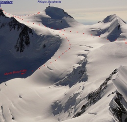
Routes

Download the Whympr App to view this POI in 3D.
- Route search (100 000)
- Community returns
- Weather forecast
- Avalanche bulletin
- Race book
- Creation of tracks
- Topographic map (including IGN)