

Open this route in the app to prepare your next outing.

Details
The tour given here is a loop from Luminy over the Col de la Candelle by the GR to Col Devenson, then out and back the Corniche Paretti, and return by green + red trails and Pas de l’Oeil-de-Verre to Col de Sugiton. Time: 3-4.5 hours out, 3-4.5 hours return.
Quiet sea not required: the Corniche traverse stays far enough above the water.
Approach to Aiguille Devenson by GR
From Parking at Luminy, take the obvious main trail S then SE about 1.6km to Col de Sugiton. Follow GR along road about 1.8km. After road curves right under rock amphitheater and aims S (at N43.2160 E5.4520). Leave the road, turn left onto trail up hill roughly E, and continue following GR about 2km to Col de la Candelle (428m). Next follow GR at first N, then SE down toward Col des Charbonniers, up to the W summit of the Devenson cliffs, then down E to a low point on the ridge, the Col de Devenson (245m).
See the top of the spire of the Aiguille du Devenson monolith down far below at the edge of the Sea (not the spire down SW which is above the Sea). Now leave the GR, turn R onto narrow trail and go S down and down toward the Aiguille, at first on an arete in the middle of the valley, then a steep scramble down E (L) side of arete, next down on gravel. Few markings (old faded brown) or none, but the way is mostly obvious. Reach a nearly vertical wall, and use a chain (shiny new in 2013) to go down its R (W) side (an athletic move or two, the rest is careful footwork), and exit R onto an easier slope. About 60m distance / 20 vertical meters lower meet the Green trail. Continue S down this (some tricky moves with exposure) about 60m distance / 40 vertical meters to a notch (N43.2047 E5.4776) by the N side of Aiguille Devenson.
An optional side-trip is to climb the Aiguille Devenson by its N ridge, with at least one move of difficulty 3, rather exposed.
Corniche Paretti traverse
The section between Aiguille Devenson and Calanque Devenson is well-marked with Green paint. Total distance about 300m. The exposure is fairly sustained. There are some tricky moves. Well-protected with about 21 modern eye-bolts (shiny new in 2013) and slings around trees.
From the N side of Aiguille Devenson, the Green trail turns L and goes down to E, at first steep, then moderate downward traverse and onto the first shelf. (It could help to look back a couple of times to remember the appearance of East side of Aiguille Devenson, so later on return you will know when to climb up away from the water.)
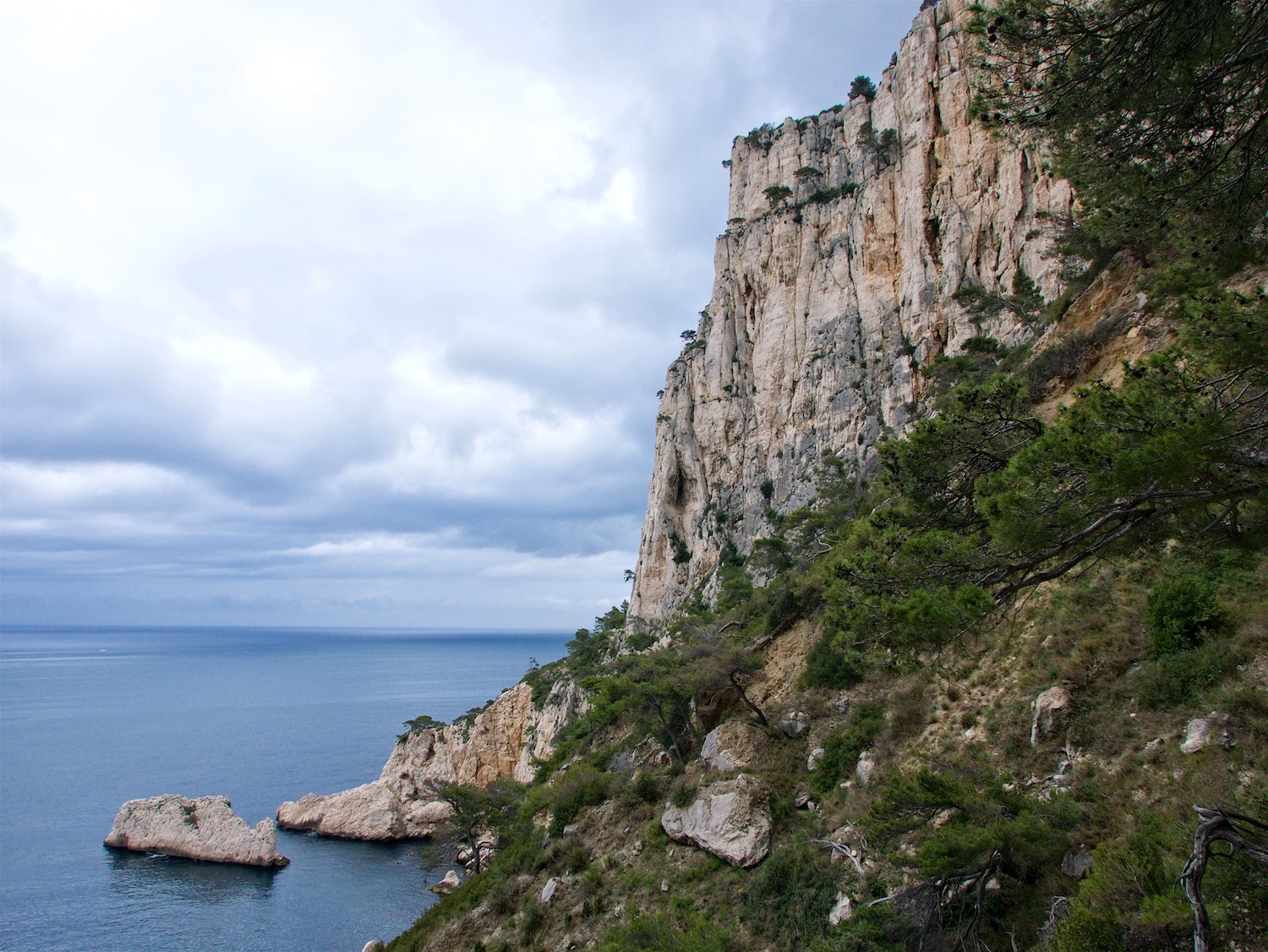
Next across a narrow airy cornice, then up a dirt/gravel gully to reach the second shelf. Then down through pine trees and rocks. Last section is a bit dirty, and has some moves on tree roots. The beach of Calanque du Devenson is rocky, with the notable “dromedary” rock a short ways out in the water.
Return from Calanque Devenson is normally by traversing Corniche Paretti again, in the opposite direction W back to Aiguille Devenson - (but there is a more difficult alternative by the Hurluberlu couloir).
Return from Aiguille Devenson by Green + Red
From the base of the N side of the Aiguille, go directly up about 60m distance / 40 vertical meters. (at around N43.2054 E5.4774). Bear Left to follow Green trail NW. Some trickiness in navigation – not so many markings. At first tend mostly to continue more horizontal, not get high up near base of cliffs. There may be some sections where you need to squeeze through some bushes, and some sections on rock rather narrow and definitely exposed. Later there is a steep exposed down-climb.
About 2km roughly NW to the junction with Red trail. At the junction (N43.2104 E5.4703) with Red trail, Turn L to go down Val Vierge on Red. After about 150m distance reach the Pas de l’Oeil-de-Verre, steep rock section with a chain (shiny new in 2013) and wide steel rungs/stemples like via ferrata. After another 50m distance / 25 vertical meters, the Red trail makes a sharp turn R to go down steep to NW - (if you find yourself going a long ways down on wide gravel, then you missed the turn).
Red trail goes fairly close to the Sea once, but then makes a long rising traverse up away from it. It goes below the big Socle de la Candelle cliff. Then the trail gets wider and goes above Calanque des Pierres Tombées, then meets the road and soon the GR joins the road back up to Col de Sugiton.

The text and images in this page are available
under a Creative Commons CC-by-sa licence.

Download the Whympr App to view this route in 3D.
- Route search (100 000)
- Community returns
- Weather forecast
- Avalanche bulletin
- Race book
- Creation of tracks
- Topographic map (including IGN)